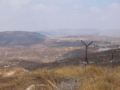
A few of the views:
 Highway #60 from the north with Shiloh Junction at center-left, and Turmos-Aya in background with hills of Baal-Hatzor on the horizon
 Tel Shiloh and the lower Shiloh neighborhoods from Eli in the north
 Looking at Highway #60 with Eli to the right, its gas station in the middle, and Maaleh Levona upper left in the distance
 Givat Harel, just west of Highway #60 between Shiloh and Eli and Givat HaRoeh caravans on the next hilltop behind
 A-Essawiya village west of Eli
 Duma village just east of the Allon Road and the Sartaba Peak in the background
 Keidah (to the right) and Adei-Ad in the distance, south of former Keida radar installation
 Some of the thousands of vines growing in the area, all a result of Jewish agricultural enterprise


No comments:
Post a Comment